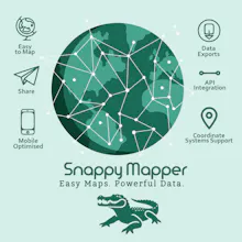
Collect and share GIS vector data without GIS software. Snappy Mapper makes spatial data easy for anyone—no training, no jargon, just accurate results.
No reviews yetBe the first to leave a review for Snappy Mapper
Maker
📌
Thanks for checking out Snappy Mapper!
I built this to solve a recurring problem I saw in GIS projects: getting accurate, usable spatial data from people who aren’t GIS experts. Whether it’s farmers tracing land boundaries or teams capturing asset locations in the field, most tools out there are too complex or too technical.
Snappy Mapper is designed to be simple — users can add points or polygons using their phone or browser, and GIS teams can access the data via download or API in any standard CRS.
Happy to answer any questions, and would love your feedback!