VeloPin is a route planner built for riders who want to know what they're actually getting into: it checks road surface so you can pick the right tyres, finds resupply stops with opening hours, times your start around the weather, and makes sure every waypoint you set actually arrives on your Wahoo, Garmin, Hammerhead or COROS. Fully supported countries: DE, AT, CH, LI, FR, BE, NL, LU, IT, DK, GB, IE, PT, ES, AU
No reviews yetBe the first to leave a review for VeloPin
Maker
📌
Hey - I'm Tony, a solo developer and longtime cyclist. I built VeloPin because every time I planned a route in Komoot or Strava, something was missing by the time I actually rode it: I'd run low on water with no idea where to refill, I'd get rained on because I left at the wrong hour, and half my waypoints wouldn't even show up right on my bike computer.
VeloPin tries to close all of those gaps in one planner: it shows the road surface so you know what tyres to run, finds resupply stops with opening hours, times your start around the weather, and makes sure every waypoint you set actually arrives on your Wahoo, Garmin, Hammerhead or Coros with the right icon and note.
It runs in the browser, nothing to install. Would love feedback, especially from anyone who's been burned by a "surprise gravel section" or a dead café on a long ride.
Report
honestly looks really solid, the tyre-aware routing is a nice touch that most planners skip. one thing that would make it way more useful for me though: an elevation profile preview for each route leg before i commit. right now you can see distance but not how brutal the climbs are until you're halfway up wondering why you chose this. would help massively when picking between two options
Report
Maker
@fatma_c6670 thanks so much for the kind words and the feedback!
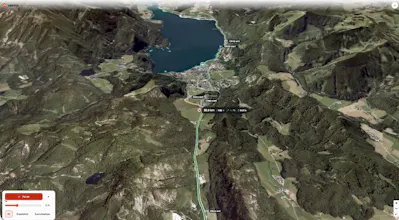
On the elevation profile / climbs: elevation profile at the bottm + dedicated climbs tab at the bottom right that will show you the climb data:
length
estimated ride time
avg gradient
max gradient
elevation gain in m
Are you looking for something else apart from this?
Report
Finally something that checks surface type before I pick tyres, honestly that's been my biggest gripe with other planners. Sync to my Wahoo worked first try which is kind of rare.




honestly looks really solid, the tyre-aware routing is a nice touch that most planners skip. one thing that would make it way more useful for me though: an elevation profile preview for each route leg before i commit. right now you can see distance but not how brutal the climbs are until you're halfway up wondering why you chose this. would help massively when picking between two options
@fatma_c6670 thanks so much for the kind words and the feedback!
On the elevation profile / climbs: elevation profile at the bottm + dedicated climbs tab at the bottom right that will show you the climb data:
length
estimated ride time
avg gradient
max gradient
elevation gain in m
Are you looking for something else apart from this?
Finally something that checks surface type before I pick tyres, honestly that's been my biggest gripe with other planners. Sync to my Wahoo worked first try which is kind of rare.
@anlahinkayetvg love it - thanks for the kind words!