
Postcodeheatmap
Turn your spreadsheets into beautiful map visualizations
14 followers
Turn your spreadsheets into beautiful map visualizations
14 followers
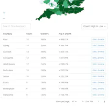
A super simple tool to visualise your customer density across UK geographic boundaries such as counties and regions. Just upload a spreadsheet of postal codes and then export your heat maps as images or generate reports.



Free Options
Launch Team

StenoA Crafted Markdown editor for humans and AI agents
Promoted

 Zipcode Heat Map